MARTINEZ, Calif. – There was a good turnout, plenty of ideas, clarification of regulatory limits, and costs at the first public workshop focused on the Martinez Trust Lands Use Plan (TLUP) for the Marina area.
Among new use suggestions were enhancing the popularity of kite flying and windsurfing, add a restaurant and/or a cafe, paid RV and boat parking, sailing schools (if Marina is fixed) and, linking Martinez to the San Francisco Water Bay Trail (non-motorized watercraft access to towns along the shore of the bay).
Boaters, Yacht Club members, Sea Scouts, dog owners, kite flyers, fishers, walkers, families with children, Golden State Outrigger (canoe) enthusiasts, were among attendees. City Councilwomen Noralea Gipner and Lara DeLaney were also spotted in the audience.
Christina Ratcliffe, Martinez community and economic director asked for a show of hands from those who support the existing uses, named individually. They are the Marina, the Harbormaster, Bait Shop, Yacht Club, Marine Services/boat storage, Dog park, Amphitheater, and Sea Scouts Clubhouse.
Most people voted to keep existing uses, with a slightly smaller confirmation of the Amphitheater. A ferry service was discussed and planners listed a hotel as a possible improvement in the 1994 Marina Master Plan, which had many features discussed at the workshop. There were less formal plans scraped
in 2012 when a public/private collaboration envisioned a $24 million makeover to turn the Marina into a first-class destination on par with modern facilities in other Bay Area shoreline communities.
The real challenge for the city is to show the state how the Marina, in conjunction with other uses and as a transportation link, can eventually pay for itself.
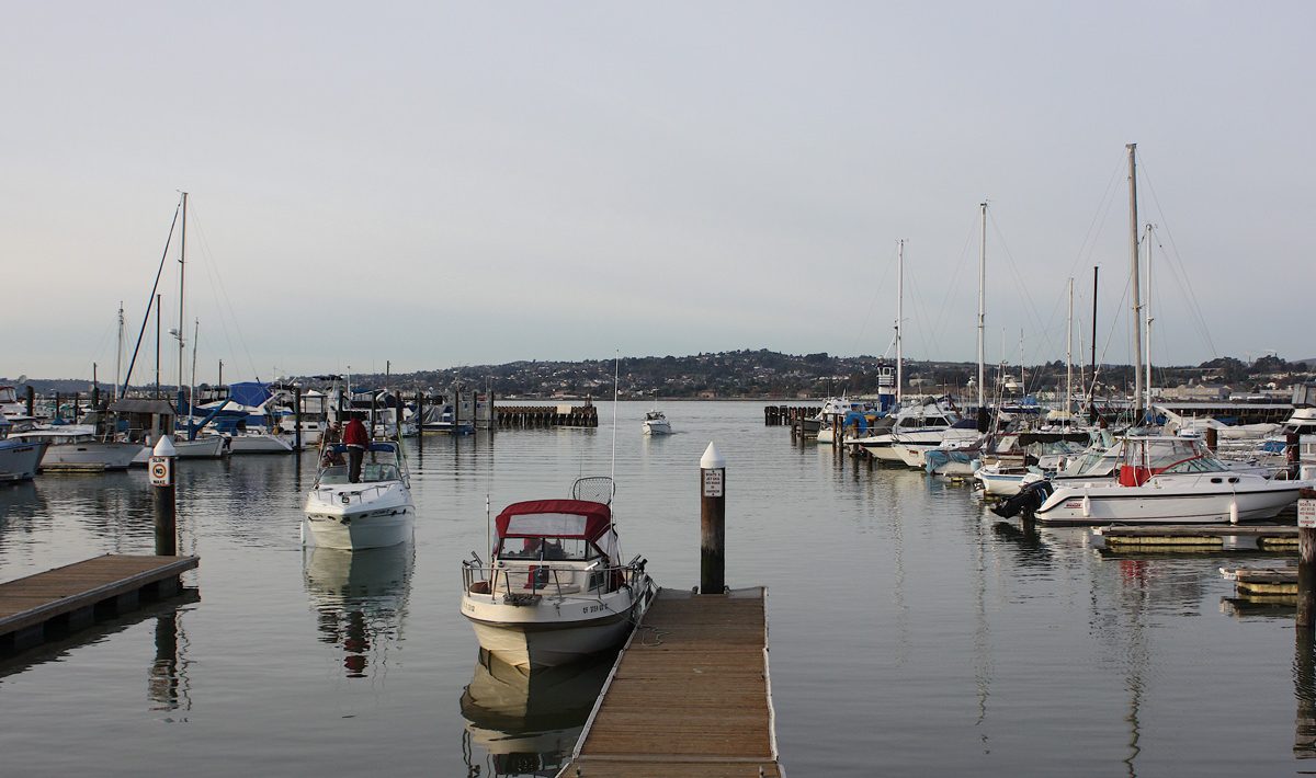
Planning Consultant Christine O’Rourke explained the following: It was built to accommodate 332 boats in1960, and almost immediately began to accumulate silt. Over the years, and as breakwater holes allowed silt in, fewer and fewer docks were available because of the silt.
Boats were grounded and boat owners moved elsewhere. Then charter fishing boat business was lost. Now only 134 docks are used, thus further reducing the potential for income. The Marina has had a history of losing money, but she said Almar Marinas (management company) reported net income of $110,000 for 2018.
O’Rourke described a 60-year old condition of deferred maintenance. The East wall needs to be replaced and two other walls need repair, the entrance needs to be reconfigured to cut down on the silt, the fueling station should be working, and the docks due for replacement.
It was mostly dredged about five years ago, at a cost of $1 million. Luckily, the city owns a couple of nearby waste ponds where the dredged material can be dumped (saves cost of transport/dump fees), but it seems they have dried up because of long-term lack of use.
One reason for the high cost of dredging is the approvals or permits from nine government agencies. Presumably, they are not free. Then, if they are in place, there is a relatively small window of time allowed for the work.in which to do the work.
Top that with a big residual debt. The debt is as old as the Marina. The City borrowed in a series of loans from the Department of Boating and Waterways for the Marina beginning in1959.
The balance is still about $4 million on what was re-negotiated to an interest-only loan that is part of a deal that gave the City time to turn the Marina around financially and pay it off.
The 2014 agreement came in the form of SB1424 by Sen. Lois Wolk, D-Davis. It replaced the City’s lease with the state, with ownership in Trust, which allows the City to deal more effectively with developers. The City was given five years to submit a Marina Master Plan to the State Department of Boating and Waterways.
O’Rourke reminded people that San Francisco Bay Conservation and Development Commission (BCDC) controls the area within about 100 feet of the mean tide level, and generally does not approve permanent building there. This is a very simple explanation of complicated calculations the regulators will use, but the public should be aware that in the context of a predicted rise in sea level, the BCDC will be a factor in limiting what can be done at the waterfront.
The presentation PowerPoint pages are available on the city website.
The TLUP plan does not include City of Martinez park lands or property owned by East Bay Regional Parks.